
Trace a Suffolk County Street
Street-by-street research in Suffolk County starts with the municipality. Boston, Chelsea, Revere, and Winthrop keep separate assessment and local records, while the Suffolk Registry of Deeds is a countywide land-record anchor. Record the number, street name, suffix, unit, ZIP, and municipality before searching. If the location is in Boston, keep the parcel ID as well. That small set of details lets the same place be checked in the assessor card, parcel map, deed index, permit files, and older address sources without turning an owner or tax-mailing clue into a claim about every person at the address.
- Search the municipal property tool with the street address or parcel ID. Save the situs, current tax owner, mailing address, parcel identifier, and the date viewed.
- Open the parcel on the GIS map. Identify the parcel, then pan and zoom through the street segment to see adjoining parcel geometry.
- Carry the address, owner name, and legal-description clues to the Suffolk Registry. Search the property route first, then use grantor and grantee names if the address is absent.
- Check permit and address records. In Boston, historical permit searching begins with an address, while the current Permit Finder begins with a permit number.
- For voter information, use the individual status service only for its intended self-check purpose. A municipal street-list request is a separate election-office process with protected registrations removed.
- Use reverse directories, census, and maps for past address evidence. An address section may suggest a historical occupant, but it is not a full household record.
Note: Write down the municipality before crossing a boundary, because the assessor, elections office, permit custodian, and parcel format can change within Suffolk County.
Set Up a Suffolk County Street Search
Normalize the address before treating a no-result as a dead end. The Registry advises entering a complete street number first and then the street name, with the suffix omitted if an abbreviation is uncertain. A number range needs extra care: for a property such as 47–49, try the full range, then 47 and 49 separately. Older instruments can use a legal description, plan, lot, or former address rather than the present street number. Condominium, trust, and business names also require different Registry name-search handling, usually in the last-name field with the first-name field blank.
- Parcel
- A mapped assessment unit. Boston uses a unique 10-digit parcel ID, while other Suffolk municipalities use their own formats.
- Situs address
- The physical property location. It can differ from the tax mailing address shown for the owner.
- Legal description
- The lot, plan, certificate, or boundary wording used to identify land in a recorded instrument.
- Criss-cross directory
- An address-organized directory that points from a street location toward a listed person or business for a particular year.
Boston’s former-town history adds another check. A modern Boston address can appear under Dorchester, Roxbury, Charlestown, Hyde Park, or another former municipality in an older deed, directory, map, or newspaper. The modern postal label does not replace the historical jurisdiction, so retain both names in the research notes when they differ.
Suffolk County Property by Address
Boston Property Lookup accepts one address-or-parcel search field. It accepts a street address or Boston’s 10-digit parcel ID, and it does not offer owner-name searching. A result groups information under Overview, Property Value, Attributes, Taxes & Exemptions, Abatements, Permits, and Contact Us, with an option to open the property in a map. The card can identify a current tax owner, the mailing address, value, property type, parcel ID, tax context, exemptions, and permit links. A mailing address is where tax correspondence goes, not proof that the owner lives at the site.
| Boston field or control | Use in an address search | Limit |
|---|---|---|
| Enter address or parcel ID | Find a Boston parcel by street location or 10-digit ID | Owner name is not accepted |
| Overview | Review owner, mailing address, situs, parcel ID, and property type | Assessment context, not a household list |
| Taxes & Exemptions | Review tax and exemption indicators | An exemption is not proof of every occupant |
| Permits and Open in map | Move to permit context or parcel geography | Availability follows the current interface |
The Boston Property Lookup search screen shows the address-or-parcel route used for this local record search.
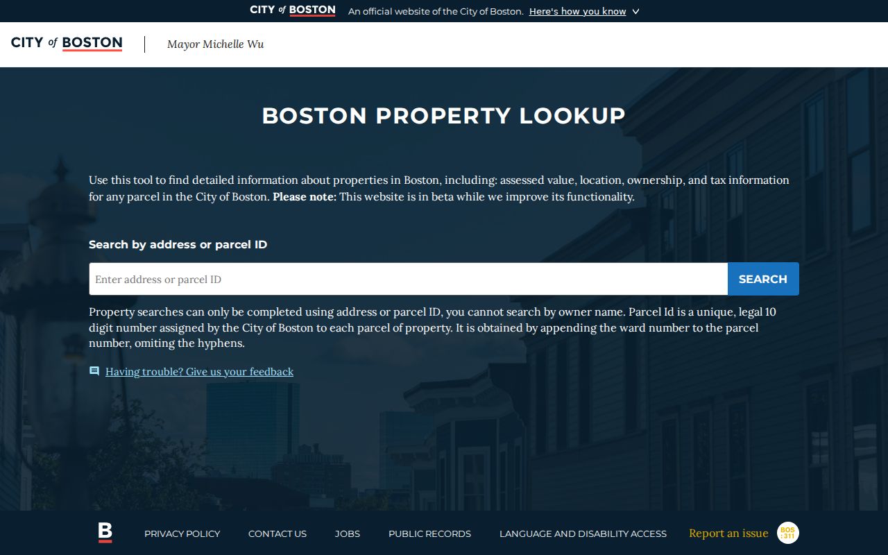
Its stated no-owner-name rule is why an address or parcel is the useful starting point for a Boston street search.
Suffolk County Parcel Maps by Street
The Boston current parcel GIS service provides current parcel geometry from Assessing. In the map, identify a parcel by clicking it, then pan and zoom to inspect the street segment and the adjoining shapes. Published layers can include parcel, property, ZIP, planning, zoning, flood, or district context, depending on the service and viewer version. ArcGIS query tools can also use an attribute or spatial filter and return geometry. For a by-street task, geometry is more dependable than assuming the next street number is the next parcel, especially near a corner, alley, rear lot, or condominium parcel.
The parcel-service view illustrates the mapped polygons used to check a street segment.
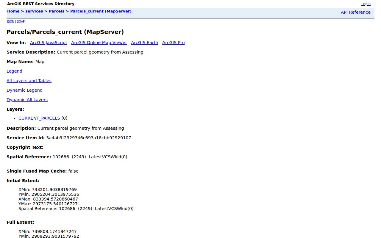
Use the map to connect adjacent land records, then verify each selected parcel through the appropriate assessment or Registry record.
Suffolk County Registry Street Search
The Suffolk Registry of Deeds search ties a street address to the title trail. Select Recorded Land and Property Search, enter the street number and street name, and then use the resulting owner, book/page, document number, plan, or legal-description clues to move backward. Search is free, as are viewing, printing, and downloading in the available online set. The Registry also offers name, document, book, recorded-date, and unindexed-property searches, with separate Registered Land and plan modes. A recorded deed can provide the grantor, grantee, recording date, book/page or document number, legal description, plan references, and sometimes a prior instrument reference.
The online name index is strongest from 1973 forward, beginning at Book 8595. Results for 1970 through 1972 are being re-indexed and remain unverified. Older images reach to Book 194 in 1800, but images do not mean that every older name is indexed. For historical gaps, use Book Search and Unindexed Property Search, then consult Registry staff or the in-person research route at 24 New Chardon Street in Boston. Research hours are Monday through Friday, 8:30 a.m. to 4:30 p.m.
Note: Older deeds often lack a street address, so match the legal description, plan, lot, and book or page before treating two records as the same parcel.
Suffolk County Street Permits
Boston’s historical permit guidance uses an address for the initial search. Permit data issued after December 15, 2009 is searchable as data, while older document images are separately searchable. A permit can help date construction, additions, conversions, or a change in use. It does not identify everyone connected to a property: a listed person may be an owner, applicant, contractor, architect, or another project contact. Plans require an in-person visit to the Inspectional Services document room at 1010 Massachusetts Avenue, fifth floor, Monday through Friday from 8 a.m. to 4 p.m.
The historical permit instructions show the address-centered route and the separate document-room access for plans.
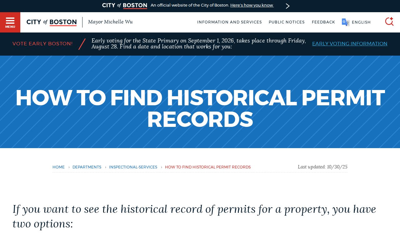
Permit history adds a dated property event to the street record chain, rather than a current-residency conclusion.
Suffolk County Former Street Names
Street research in Boston needs a geography check before it becomes a name search. South Boston separated from Dorchester in 1804. East Boston, then Noddle’s Island, entered Boston in 1836. Roxbury followed in 1868, Dorchester in 1870, Roslindale in 1873, Brighton, West Roxbury, and Charlestown in 1874, and Hyde Park in 1912. These dates matter when a search result names a former town while the present address says Boston. They also explain why a parcel shape, map, directory heading, or street description may shift across time.
No verified countywide street-renumbering table was located in the official sources. When the number or name stops matching, compare the Registry legal description with old atlases, Boston Archives maps, City Clerk material, and the former-town label. Do not assume a modern street number has always marked the same ground. Filled-land areas add another reason to use the parcel and plan, not just a geocoded address.
Suffolk County Street Directory Records
Each address-keyed source covers a different part of a Suffolk County street. The assessor card and GIS map establish the current parcel. The Registry documents title. Permits and municipal service files describe events tied to the address. Election records have a carefully limited route, and library sources help with historical names. Use the keeper and access limit below to decide which record can answer the actual question.
| Address record | Custodian | Useful evidence | Access route |
|---|---|---|---|
| Assessment card | Municipal assessor | Tax owner, situs, mailing address, value, exemptions, parcel ID | Municipal tool or counter; Boston accepts address or parcel only |
| Parcel GIS | Municipal GIS or ArcGIS | Geometry, adjoining parcels, mapped street segment, published layers | Public map and query service |
| Recorded land | Suffolk Registry of Deeds | Grantor, grantee, dates, book/page, legal description, plans | Free online search, then Registry research for gaps |
| Permit file | Boston ISD or local municipality | Project and inspection chronology | Address search, documents, and in-person plans route |
| Voter or street list | Municipal election office | Authorized list context, precinct, and status where requestable | Individual self-check or separate lawful records request |
| Reverse directory | BPL and other research repositories | Past listed address and person or business | Library, digitized runs, or on-site collections |
The state voter-status page requires a first name, last name, date of birth, residential ZIP, and agreement. It returns an individual’s registration or pre-registration status, active or inactive status, polling location, and represented officials. It is not a way to browse a street. A full municipal street-list request goes to the relevant election office under Massachusetts election and public-records procedures, with confidential voters and restricted identifiers removed.
Suffolk County Street Directories
Boston directory address sections from 1930 forward can support a reverse, street-by-street check. Earlier runs usually require an alphabetical name search and a scan of the street. BPL telephone books, Boston Lists of Residents, Boston Streets, Sanborn and real-estate atlases, census records, and permits can help place an address in time. They remain partial sources. A directory may omit women, children, boarders, or anyone outside the publisher’s coverage, and an entry can show a business rather than a full household.
Boston’s historical city directory collections are the fuller route for dates, publishers, and reading an entry. For address history, the BPL home-history material advises combining directories, census, newspapers, Sanborn atlases, tax records, and Boston Streets rather than relying on one volume.
The BPL home-history guide illustrates the address sources that can be combined after an address lead.
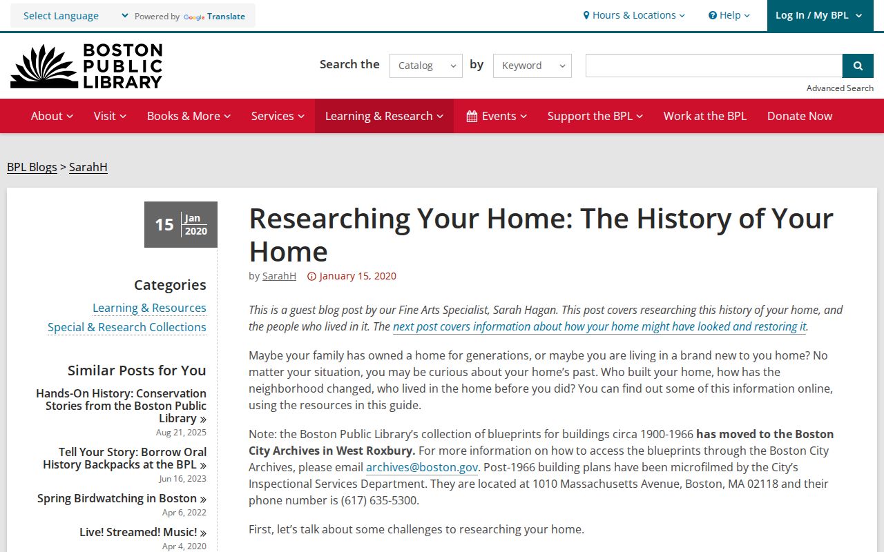
Its collection of maps, directories, census, permits, and tax records helps test whether an old listing refers to the same place.
Note: Treat an address-directory entry as a time-stamped clue, then compare it with a deed, tax record, census, permit, or map before extending the trail.
Suffolk County Street Search Limits
A Suffolk County street-record search does not produce a complete list of people at every address. Assessment records show the tax owner and mailing destination. A mailing address can be outside the municipality, and an exemption is not evidence about every person at the property. Parcel maps show land geometry, not daily occupancy. Permit records describe a project, not necessarily a resident. The public voter self-check is designed for one person’s status, not a block or street roster. Massachusetts RMV data is restricted by the federal Driver’s Privacy Protection Act, and utility, delivery, and customer records are not public resident directories.
Some addresses are also protected. Massachusetts has an Address Confidentiality Program under M.G.L. c. 9A, and confidential voter registration can withhold a name and address from ordinary voter lists under M.G.L. c. 51, sections 51A and 51B. Recorded documents can carry lawful redactions. A missing result is not proof that a person is absent from a place or history.
Lawful use. Use address records for personal, lawful research and civic curiosity. Do not use a street trail to stalk, harass, threaten, or expose another person; Massachusetts law provides criminal and court-order protections against that conduct.