
Suffolk County Neighbors by Parcel
For an immediate block, the most dependable public starting point is the parcel, not the next street number. Suffolk County includes separate municipal systems for Boston, Chelsea, Revere, and Winthrop, so use the city or town that owns the address record. The map and assessment chain can identify adjoining land, tax owners, mailing destinations, and local civic contact routes. Those are distinct facts. They should not be merged into a claim about everyone who may be present at an address.
| Block source | What it can show | Access and limit |
|---|---|---|
| Parcel GIS | Parcel geometry, adjoining lot IDs, street segment, published map layers | Public map or query service; owner detail comes from assessment or land records |
| Municipal assessor | Tax owner, situs, mailing address, parcel, value, and exemptions | Municipal portal or counter; tax owner is not automatically the occupant |
| Abutter mailing list | Parcel owners and tax-mail destinations for notification | Boston property-data route or municipal process; not a household list |
| Election-office record | Authorized street-list or voter-list context where requestable | Individual status portal is not a block roster; protected entries are excluded |
| Civic-organizing contact | Neighborhood liaison, association, meeting, and public-resource route | City connector, not a universal private-member directory |
| Archives and directories | Historical tax, voter, address, and neighborhood clues | Digitized and on-site access varies; records can be incomplete |
Use the table as a block-lookup checklist. The owner name and mailing address belong to the tax and title layer. A directory entry belongs to a stated year. A civic contact belongs to an organization or meeting channel. Keeping those labels prevents a useful record from being overstated.
Suffolk County Neighbor Parcels
Boston’s current parcel GIS service describes current geometry from Assessing. Begin with the known address in Boston Property Lookup, choose Open in map, and use identify on the parcel. Pan and zoom around its boundary to see the surrounding polygons. The service supports map and query modes, and published layers can include parcel, property, ZIP, planning, zoning, flood, or district information. A corner parcel, rear lot, alley, or condominium layout can break a simple next-number assumption, which is why the map shape matters before an adjacent owner is checked.
The Boston parcel GIS view shows the geometry used to identify neighboring parcels.
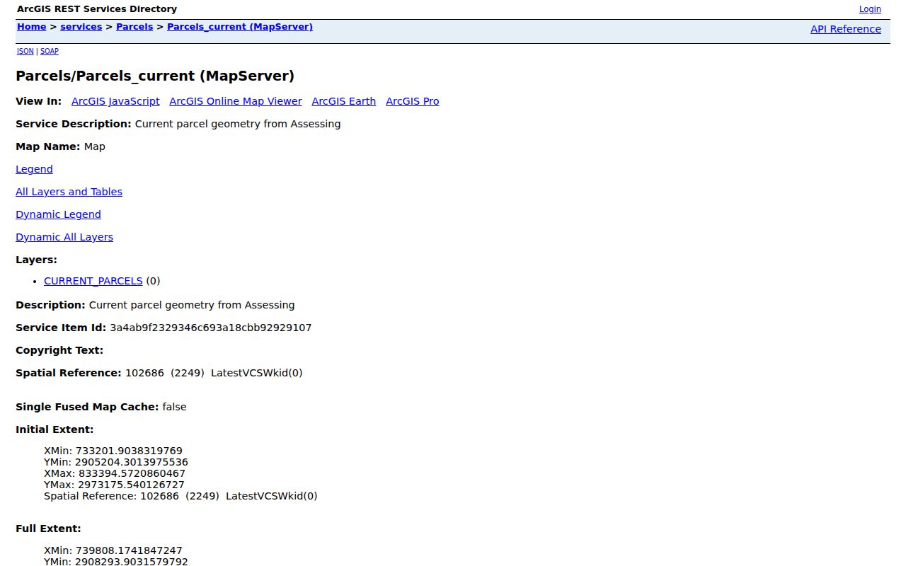
Parcel geometry provides the block boundary; the separate assessment and Registry records establish the owner and title context for each selected polygon.
Map a Suffolk County Neighbor Block
Use a short, dated parcel workflow rather than relying on a street-number sequence. The precise address identifies the starting parcel. The surrounding map shapes identify adjoining land. Then each parcel can be checked in the assessment and Registry layers, with the result recorded as owner or tax-mail evidence rather than a statement about a whole household.
- Locate the address or parcel ID in the municipal property tool and save the situs, parcel ID, current owner, mailing destination, and access date.
- Open the parcel in GIS, select it, and pan around the boundary. Capture the adjoining parcel IDs and addresses shown by the map.
- Check each selected parcel in the assessor record. For Boston, use address or parcel ID because Boston Property Lookup does not offer owner-name search.
- When title timing matters, use the Suffolk Registry property search and the deed’s grantor, grantee, legal description, plan, and book or page clues.
For a named street beyond the immediate block, use the fuller Suffolk County street directory record chain, which adds permits, older address sections, and former-town checks.
Note: A ZIP line can help describe postal geography, but a ZIP boundary is not a legal block boundary and should not replace the parcel map.
Suffolk County Abutter Records
Boston property data includes an abutter mailing-list generator. It can help prepare a parcel-owner and tax-mailing list for a nearby block, which is useful when the question is about abutters or official notice. The output is not a list of every person at those addresses. A mailing address can be outside Suffolk County, an entity or trust may hold title, and a personal or residential exemption only indicates an assessment claim. Compare the selected parcel with the assessment card and Registry record before describing the result as an owner record.
| Official block record | Data-broker neighbor result | How to read it |
|---|---|---|
| GIS, assessor, and Registry records have a named custodian and a parcel or document trail | Commercial compilations can combine old addresses, marketing data, parcel data, and same-name entries | Use official sources to check a dated property or title fact |
| Abutter material identifies owner or tax-mail recipients for a parcel process | Compiled profiles may be stale or assign the wrong person to an address | Neither source establishes everyone in a household |
The County’s land-record anchor is the Suffolk Registry of Deeds. Its recorded-land property search can use street number and street name, then lead to the document, book/page, and legal-description information needed to test an ownership trail.
Suffolk County Voter Limits
The Massachusetts voter-status portal is an individual self-check. It requires first name, last name, date of birth, residential ZIP, and an agreement checkbox. Its result can show whether the matching person is registered or pre-registered, active or inactive, along with a polling location and represented officials. It is not a tool for listing a block’s registered voters, and registration status does not reveal a ballot choice or participation history.
A municipal street list or voter-list request is a separate route through the relevant Boston, Chelsea, Revere, or Winthrop election office. A written request should identify the municipality, precinct or ward, date or version, desired fields, and lawful purpose. Massachusetts election and public-records rules require confidential registrations and restricted identifiers to stay out of the response. Do not scrape or automate the individual self-check.
The Boston Archives digital-access initiative documents an historical route, including scanned city tax material and some voter records.
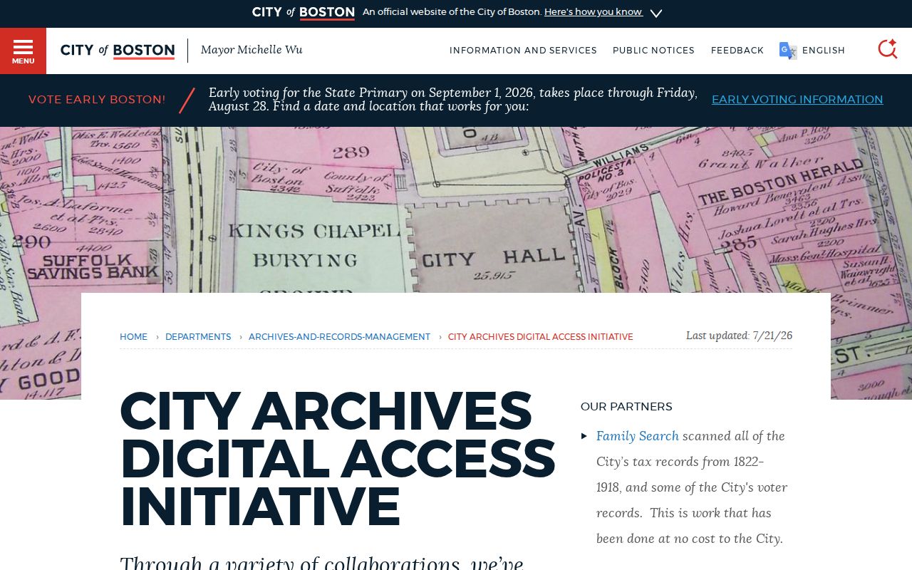
Those archive materials can add historical context, but they are not a current block roster and access should be confirmed before a visit.
Suffolk County Block Records
Address-keyed civic records can explain activity around a parcel without identifying a complete neighborhood population. Boston’s historical permit search starts with an address, with searchable data for permits issued after December 15, 2009 and separate older document images. Plans are available through the Inspectional Services document room at 1010 Massachusetts Avenue, fifth floor, Monday through Friday from 8 a.m. to 4 p.m. Permit data can place a construction, addition, conversion, inspection, or application in time. The named contact may be an owner, applicant, contractor, or architect.
BOS:311 and department files can also connect an address with a service issue or municipal response. They are not resident lists. For a non-indexed record, a written request to the relevant custodian under the Massachusetts Public Records Law, M.G.L. c. 66, section 10, is the fallback route, subject to exemptions and redactions.
Note: Read an address-based permit or service record as evidence of a municipal event, not as proof that a named participant is a current neighbor.
Suffolk County Civic Neighbors
Boston’s official Civic Organizing office connects residents with neighborhood associations, community groups, neighborhood liaisons, abutters’ meetings, civic advisory councils, and cleanup or block-party programs. The My Neighborhood tool uses an address to return local representatives and public resources. These are practical ways to find a public meeting or the proper contact around a block. The city does not publish a universal membership roster, so an association name should be treated as a public contact channel rather than proof of who belongs to it.
Boston Civic Organizing
1 City Hall Square, Room 805, Boston, MA 02201. Contact the office at civicorganizing@boston.gov or (617) 635-3485, Monday through Friday, 9 a.m. to 5 p.m.
Neighborhood liaison
Use the city’s neighborhood liaison route for associations, public meetings, abutters’ notices, and local-resource questions tied to a particular area.
The Boston Civic Organizing page shows the official city connection to those public neighborhood channels.
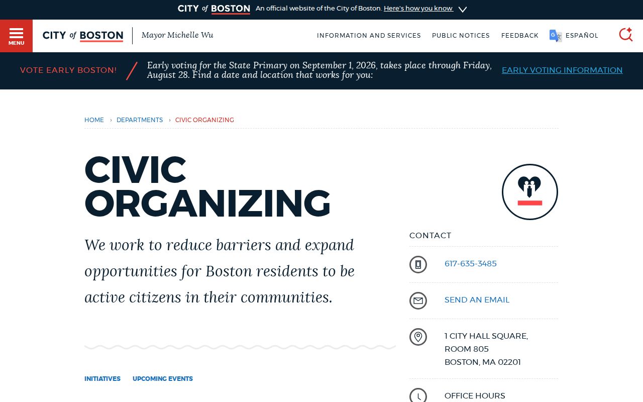
Start with the liaison or Civic Organizing contact when the goal is to locate an open civic channel, meeting notice, or neighborhood resource.
Suffolk County Neighbor Groups
Dorchester United Neighborhood Associations, known as DUNA, was formed in 1966 and is an example of an umbrella civic-association pattern in Boston. City materials also point to neighborhood associations and local groups through each neighborhood liaison, as well as abutters’ meeting notices and city-supported community events. Those records can identify organizations active near a parcel and ways to ask about public meetings or local issues. They do not establish a private roster or show who lives at an address.
For older local context, Boston City Archives reports more than two million scanned pages and more than 20,000 photographs through its digitization work. Tax records from 1822 through 1918 have been scanned through the FamilySearch collaboration, with tax material described in hardcopy or microfilm to 1974. ArchivesSpace and the digital repository are useful first stops, but public-collection access is affected by shelving work through spring 2027, so confirm access before traveling to the Archives.
Suffolk County Neighbor History
Earlier people nearby are best approached as time-stamped address clues. Boston directory address sections from 1930 forward, Boston Streets, telephone books, tax records, Sanborn maps, and census schedules can show an earlier street context. A historic headstone search can add a death date and location clue, but the Boston Historic Burying Grounds database is a list of legible markers, not complete burial records. It covers 16 historic burying grounds. The broad list supports surname or burying-ground browsing, while survey searching can use a code, section, and number and is capped at 500 results.
The Boston historic headstones search documents the limited cemetery route for family and address history.
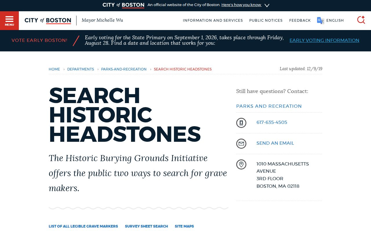
A missing cemetery result is only a negative result in a limited marker index, not proof that a former neighbor was never buried in Boston.
Neighbor Privacy in Suffolk County
Public block research has clear boundaries. Parcel maps show land, and tax records identify an assessed owner and mailing destination. Neither source shows every person at the address. Utility, delivery, and customer records are not public resident directories. Massachusetts RMV address data is restricted by the federal Driver’s Privacy Protection Act. The voter self-check does not bypass confidential registrations, and public list requests must exclude protected information. A permit or civic record may name a project contact or organization without establishing a current household connection.
Massachusetts offers an Address Confidentiality Program under M.G.L. c. 9A and 950 CMR 130.00. Confidential voter registration under M.G.L. c. 51, sections 51A and 51B can keep a voter’s name and address out of ordinary lists. Some court addresses can also be impounded. The state portal is not a route around these protections. Recorded documents may contain lawful redactions, and a negative result should never be treated as evidence that someone is absent from a block.
Lawful use. Use parcel and civic records for personal, lawful research and community awareness. Do not use a neighbor search to stalk, harass, threaten, or expose any person; Massachusetts law provides protections and remedies for that conduct.