
Suffolk County ZIP Code Coverage
Suffolk County has a dense concentration of Boston codes plus one standard delivery ZIP for each of Chelsea, Revere, and Winthrop. The table compacts the official Boston neighborhood and ZIP material alongside the municipal facility checks. It includes both ordinary street-delivery ZIPs and specialized central codes because each can be valid in the county. A specific address still needs an USPS ZIP Code Lookup check. Postal labels are delivery constructs, not a substitute for the city or town that keeps the property and election records.
| ZIP Code | Areas covered | Post office context | Notes |
|---|---|---|---|
| 02101-02107 | Central Boston | Boston downtown delivery or PO context | Central and specialized codes |
| 02108 | Beacon Hill and Back Bay | Boston | Street-delivery central Boston |
| 02109 | North End and Waterfront | Boston / Milk Street station context | Downtown Boston |
| 02110-02112 | Waterfront, Financial District, Chinatown, Downtown | Boston | Central delivery area |
| 02113 | North End | Boston | Street-delivery neighborhood |
| 02114 | Beacon Hill and West End | Boston | Street-delivery neighborhood |
| 02115 | Fenway and Kenmore | Boston | Also associated with major institutions |
| 02116-02118 | Back Bay and South End | Boston / Back Bay station context | 02117 is specialized central coverage |
| 02119-02121 | Roxbury and Mission Hill | Boston | Boston neighborhood coverage |
| 02122, 02124, 02125 | Dorchester | Boston | Boston neighborhood coverage |
| 02126 | Mattapan | Boston | Boston neighborhood coverage |
| 02127 | South Boston | Boston | Boston neighborhood coverage |
| 02128 | East Boston | East Boston station context | Logan and East Boston geography |
| 02129 | Charlestown | Boston | Former town annexed in 1874 |
| 02130 | Jamaica Plain | Boston | Former West Roxbury-area context |
| 02131 | Roslindale | Boston | Boston neighborhood coverage |
| 02132 | West Roxbury | Boston | Boston neighborhood coverage |
| 02133 | Central and Back Bay Boston | Boston | Specialized central ZIP |
| 02134, 02135 | Allston and Brighton | Boston | Border and neighborhood geography |
| 02136 | Hyde Park | Boston | Former town annexed in 1912 |
| 02150 | Chelsea | Chelsea Post Office | Postal cross-references can use Boston or Chelsea |
| 02151 | Revere | Revere Post Office | Standard Revere delivery ZIP |
| 02152 | Winthrop | Winthrop Post Office | Standard Winthrop delivery ZIP |
| 02163 | Allston and Brighton | Soldiers Field station | Institutional or university-associated code |
| 02196, 02199 | Central Boston and Prudential area | Boston | Specialized, commercial, or institutional context |
| 02201-02204 | Central Boston and City Hall area | Boston | Specialized downtown codes |
| 02205 | Central Boston and Fort Point | Fort Point RM 1 context | Specialized code |
| 02206-02209, 02211-02212 | Central Boston | Boston | Specialized downtown codes |
| 02210 | South Boston and Seaport | Boston | Filled-area geography can complicate labels |
| 02215-02217, 02222 | Fenway, Kenmore, Back Bay, central Boston | Boston | Neighborhood and specialized coverage |
| 02228 | East Boston | Boston | Specialized East Boston code |
| 02293, 02295 | Central Boston and Back Bay | Boston | Specialized codes |
The most concentrated part of the list is central Boston. Many 021 and 022 codes there are specialized, commercial, institutional, or PO-oriented. Do not assume that a code represents a broad residential neighborhood merely because it falls within Suffolk County.
Suffolk County ZIP Code Directory Municipal Split
Boston, Chelsea, Revere, and Winthrop are separate municipal record environments. A Suffolk Registry of Deeds search is countywide, but assessors, election offices, permit systems, clerks, and many parcel tools are local. Chelsea uses 02150, Revere 02151, and Winthrop 02152 as their standard delivery ZIPs. The postal city label can still be misleading. The research notes that USPS cross-reference material can use Boston and Chelsea names, which is why an address needs both its postal validation and its actual municipality before records research begins.
For Boston neighborhoods, the official map associates Charlestown with 02129, Dorchester with 02122, 02124, and 02125, East Boston with 02128 and 02228, Roxbury with 02119 through 02121, South Boston with 02127 and 02210, and West Roxbury with 02132. Those are useful navigation clues. They do not create a countywide address or occupant list.
Boston's ZIP GIS layer is a useful geographic view of the Suffolk County ZIP code directory.
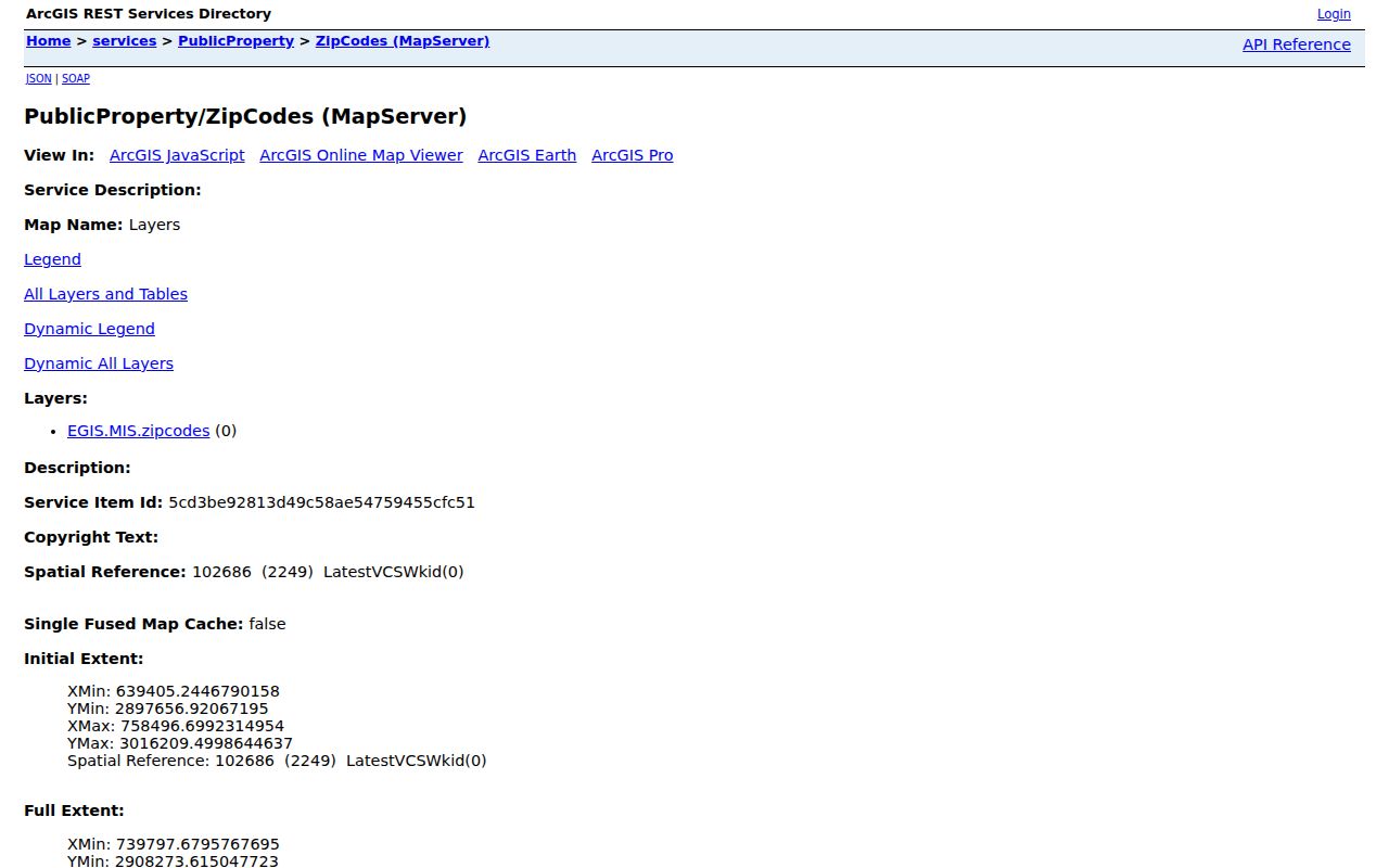
The service is a city map layer. Use it to inspect the displayed ZIP geography, then use USPS when an exact delivery address must be validated.
Suffolk County ZIP Maps and USPS
USPS is the authority for delivery-address validation. Boston GIS is the right tool for municipal map geography. The Boston ZIP MapServer publishes Query, Find, and Identify operations, with a maximum record count of 2,000, but it does not replace the postal service's address decision. Census ZCTAs are different again: they are generalized statistical areas built from Census blocks and valid ZIP codes, and not every valid ZIP has one. A ZCTA can also represent a single institution or a PO-box-only code.
- ZIP and ZIP+4
- A five-digit ZIP directs mail to a delivery area. ZIP+4 adds four digits for a more specific delivery segment.
- PO-box ZIP
- A ZIP used for post-office box delivery, which may not describe nearby street addresses.
- Unique ZIP
- A code associated with a single large institution or special delivery arrangement rather than a broad neighborhood.
- Carrier route
- The mail carrier's delivery sequence within an area. It is not a municipal or parcel boundary.
Find Suffolk County Residents by ZIP
A Suffolk County ZIP code can focus an address search, but the official tools do not offer a verified ZIP-wide property or resident browse. Boston Property Lookup accepts an address or a 10-digit parcel ID, not a ZIP-only search and not an owner-name search. The state voter form uses a residential ZIP only as part of a single person's name, date-of-birth, and agreement-based status check. It does not create a ZIP roster. Once an address is validated, use the municipal property or GIS channel that serves that municipality.
- Validate the full street address and ZIP through USPS, then identify the municipality.
- Open the Boston ZIP GIS layer when the address is in Boston, or use the appropriate Chelsea, Revere, or Winthrop municipal tool.
- For a Boston parcel, enter the address or 10-digit parcel ID in Boston Property Lookup and review the resulting property card.
- Use the voter-status form only for the individual self-check it is designed to perform. For a lawful municipal list request, contact the relevant election office.
When the ZIP has narrowed a search to a street, the Suffolk street directory gives the address-keyed records path. A ZIP alone cannot establish who occupies a parcel.
Suffolk County ZIP Code Directory GIS Controls
Boston's published GIS services can locate an address or parcel in map context and expose ZIP, planning, district, flood, or other layers where published. The exact controls can vary by viewer version. The ZIP layer is most useful for checking map placement, while the current parcel service connects selected geometry to property context. Use a source's own fields instead of assuming that a map display provides a searchable resident database.
| Boston GIS control | Use for ZIP research |
|---|---|
| Find or Search | Locate an address or parcel where the viewer configuration supports it. |
| Identify | Select a mapped feature and return joined parcel or service attributes. |
| Query | Run an attribute or spatial operation and return geometry in the available service formats. |
| Layers | Turn on published parcels, ZIP codes, planning, zoning, flood, or district layers. |
| Pan and Zoom | Compare the displayed ZIP area with surrounding streets and parcels. |
Note: The map can show a Suffolk County ZIP boundary, but it cannot validate an individual mailing address or return a complete group of residents.
Suffolk County ZIP Codes in Property Records
Use postal data as a locator, then move to the record keyed to the parcel. Boston Property Lookup offers a property record card request, sales information, and an abutter mailing-list tool in addition to its address-or-parcel search. Its card may show the assessed owner, owner mailing address, parcel ID, use code, value, tax information, and map link. A mailing destination can differ from the situs, which is the physical parcel location, so it is not proof of where the owner lives.
Boston property data and information explains the city channels that accompany the property interface.
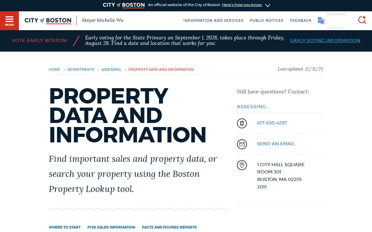
For a title question, compare the parcel result with the Suffolk Registry of Deeds. The deed trail can identify the recorded parties and legal description, but it also is not a ZIP-wide person search.
Former Towns Behind Suffolk County ZIP Codes
Modern Boston ZIP labels sit over older municipal histories. South Boston entered Boston in 1804, East Boston in 1836, Roxbury in 1868, Dorchester in 1870, Roslindale in 1873, Brighton, West Roxbury, and Charlestown in 1874, and Hyde Park in 1912. A current Boston address may therefore appear under a former town in a deed, directory, map, cemetery register, or newspaper. That history matters more than a present postal code when tracing an older record.
Filled land adds another reason to use a parcel's legal description and map setting, not only a street number or ZIP. Back Bay was filled from 1857 to 1894, while other harbor areas also changed shape. Keep the historical municipality, street spelling, parcel information, and year together in the research note.
Suffolk County ZIP Code Boundary Limits
A ZIP code is not a city limit, neighborhood line, legal parcel boundary, or complete household record. Boston neighborhoods are not incorporated municipalities. Specialized downtown codes can be tied to delivery arrangements rather than a general residential area. Chelsea, Revere, and Winthrop have their own municipal records even though all sit in Suffolk County. A negative search in one municipal system may mean the address belongs with another custodian.
Privacy limit. Use ZIP and parcel information for lawful personal research. Do not use public records to stalk, harass, intimidate, or expose another person.
Private household members, utility customers, protected voters, and address-confidentiality participants are not made public by a ZIP map. Check with the correct custodian when an official record needs correction or a lawful request is necessary.